Archive for November, 2013

drone

OKLAHOMA CITY – Privacy concerns weigh heavy on the governmental use of UAS. But for farmers in Oklahoma and all around the United States, UAS could be a necessary tool to the future of farming.

“The technology is pretty new to our members but as we go and technology gets stronger I see a huge market for it in the future,” said Oklahoma Farm Bureau’s John Collison.

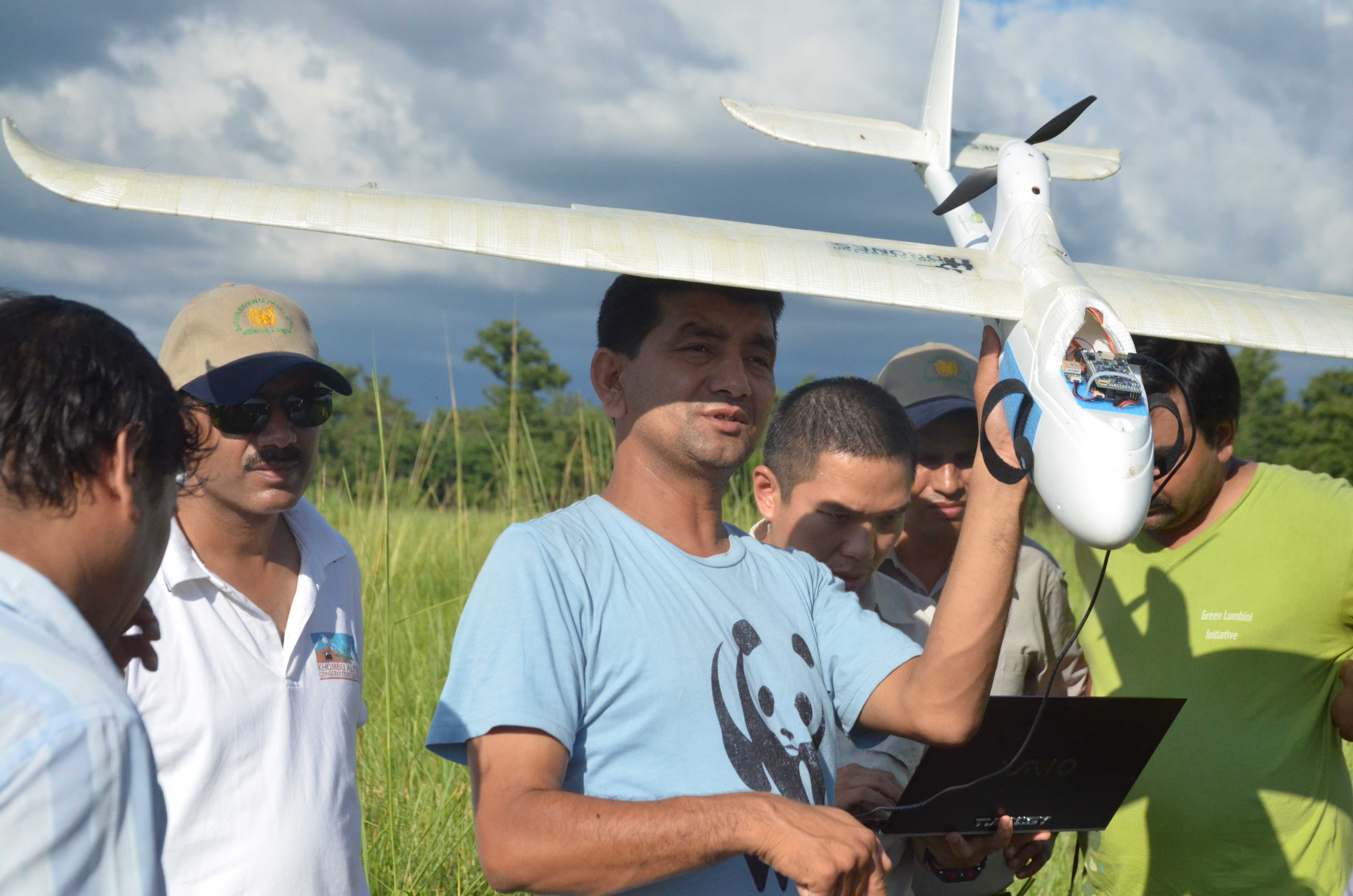
UAS is already a tool for many Oklahoma Farmers.

“Check their cattle, check their property, use these drone for precision agriculture and make sure we are farming the most efficient and effective way possible,” Collison said.

Oklahoma Farm Bureau’s John Collison still hears concerns from other farmers across the state.

“Farmers want to use these drones in a correct manner and under FAA guidelines and using them correctly,” Collison said.

In an exclusive statement to News 9, the FAA clarified the issue, stating:

“Farmers may operate an unmanned aircraft over their own property for personal use and Guidelines for the operation of model aircraft, such as those published by the Academy of Model Aeronautics, may be used by farmers as reference for safe model UAS operations.”

One priority guideline from the AMA… “(c) Not fly higher than approximately 400 feet above ground level within three (3) miles of an airport without notifying the airport operator.”

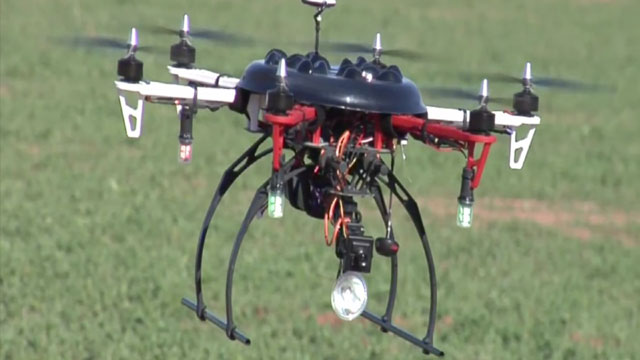
“System are much smaller, and has the capability to sense where his crops need to be watered,” said Retired Major General Toney Stricklin.

Retired Major General of the US Army and member of the Oklahoma Unmanned Aircraft Council Toney Stricklin knows the difference between military and commercial drones, and feels farming is just the beginning.

“I Like to say the genie is out of the bottle. This technology will continue to grow in public safety and agriculture,” Stricklin said.

It really is just the beginning. General Stricklin estimates in the next 20 years, UAS will be a multi-billion dollar industry.

Source: Academy of Model Aeronautics National Model Aircraft Safety Code

Multi rotors perform a lot of useful tasks, but here’s one of the best I’ve ever seen. Henry Evans, who has been paralyzed by a type of stroke, uses a quadrotor to navigate space. The aircraft’s FPV view allows Henry to look around a garden or take a stroll across campus and gives him greater accessibility to the world. This is worth watching!

FPV drone lets a paralyzed man stroll outdoors

Source: http://www.ted.com/talks/henry_evans_and_chad_jenkins_meet_the_robots_for_humanity.html

[  For more information about UAV’s positively impacting wildlife, pick up the January/February 2014 issue of Robot Magazine and check out “UAV’s Deployed in Nepal To Save Wildlife”, by Tom Atwood. http://www.botmag.com  ]

BARDIA NATIONAL PARK – Nepal’s antipoaching efforts received a major boost this week as park rangers and army personnel learn how to operate unmanned aerial vehicles (UAVs) in two national parks in a training program organized by WWF.

Nepal is home to rhinos, tigers and elephants, among the world’s most vulnerable species. Poaching of these and many other animals is at an all-time high and the hope is that UAV technology will help capture poachers in the act and deter others from even trying.

WWF has supported Nepal with training rangers to use unmanned aerial vehicles to monitor for poachers.

WWF has supported Nepal with training rangers to use unmanned aerial vehicles to monitor for poachers.

“Nepal is committed to stopping wildlife crime, which is robbing Nepal of its natural resources, putting the lives of rangers and local communities at risk, and feeding into global criminal networks,” said General Krishna Acharya, Director of Nepal’s Department of National Parks and Wildlife Conservation. “Technologies like these non-lethal UAVs could give our park rangers a vital advantage against dangerously armed poachers.”

Nineteen park rangers and Nepal army personnel were trained to use the UAVs by developer Mr. Lian Pin Koh, an ecologist at the Swiss Federal Institute of Technology Zurich. Participants learned how to use the planes and conducted field tests in Bardia National Park.

Traditionally, effective monitoring of national parks has depended largely on accessibility of the terrain by anti-poaching patrols as well as prior intelligence on poachers in the vicinity.

The UAV gives the patrols a new strategic advantage with an eye in the sky, allowing them access into previously unreachable areas and a safe view of illegal activities on the ground. The presence of a UAV also serves as a deterrent to poachers and illegal loggers since they now know that the parks are being monitored both on the ground and from above.

The GPS-enabled FPV Raptor model planes are light enough to be launched by hand, filming the ground below with a still or video camera. They can fly a pre-programmed route of about 30km at a maximum elevation of 200 meters for up to 50 minutes. The battery can be recharged in about half an hour. Each UAV costs about $2500, making it affordable even for developing countries like Nepal.

“WWF is excited to be part of this field test of new technology in partnership with the government of Nepal,” said Anil Manandhar, Country Representative of WWF Nepal. “We see this as a potentially powerful new tool to improve protection of Nepal’s national parks from illegal activities like poaching and logging.”

Vienna University of Technology’s 'smartphone quadcopter'

Vienna University of Technology’s ‘smartphone quadcopter’

With one possible exception, autonomous quadcopters are not something that you would expect to be inexpensive. A relatively cheap model may indeed be on its way, however. Designed by the Vienna University of Technology’s Virtual Reality Team, the tiny aircraft utilizes the processor and camera of an off-the-shelf smartphone.

The Vienna team, led by chief engineer Annette Mossel, programmed the quadcopter’s navigation software into the processor using an app.

Once in flight, the UAV uses the phone’s camera to identify QR-like coded squares placed on the floor within a room. These allow it to create a map of the room, so it can subsequently find its way around the space on its own. Ultimately, plans call for it to be able to identify actual objects naturally present in a room (such as tables and chairs) using a Kinect-style depth sensor, and create its map using those.

Annette Mossel and her team


The smartphone bits and pieces are the most expensive components of the quadcopter, with all of its parts together worth less than €1,000 (US$1,333). It is hoped that eventually, a commercial descendant of the aircraft could be used for things such as monitoring illegal forest clearing in developing nations.

Perhaps its price could be brought down further if it came without a processor of its own, and users just docked their own smartphone into it – as is already the case with some small, wheeled robots.

It can be seen in flight in the video below.

Source: Vienna University of Technology

This documentary details the bureaucratic challenges faced by search and rescue personnel and their desperate need for civilian drones which are restricted by the Federal Aviation Administration (FAA). Countless lives could be saved with this existing and affordable technology, but the government prohibited their use in 2007.

By Gus and Maha Calderon